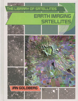
Earth Imaging Satellites
Earth imaging satellites take photographs of Earth's surface to measure pollution, find earthquake fault lines, locate forest fires, plan the growth of cities, and chart changes in size of the polar ice caps. The uses for these satellites are almost endless, and more uses are discovered every day. As the archive of images grows and changes to Earth's surface and atmosphere are recorded, it is hoped that we will gain a greater understanding of Earth's processes and how to maintain their healthy operation. Jan Goldberg offers a fascinating introduction to the satellites that photograph almost every inch of the endangered planet we live on.
* Reviews *
Series Review: The Library of Satellites"Packed with information, the texts are easy to read...will serve both for reports and for interesting reading."
--School Library Journal


